Understand Your Risks and Stay Prepared
Flood maps aim to include the most up-to-date and precise data to enhance their accuracy in representing the potential risks faced by communities. These maps depict the level of vulnerability of different areas to flooding and assist in determining flood insurance and construction regulations. However, it is important to note that flood maps are not infallible and may require periodic updates. Flood Panel America offers distinctive services tailored to meet the needs of banks and insurance agents involved in property lending. Our services are designed to accommodate property portfolios of all scales and sizes.

Protecting Your Property and Your Future
While FEMA maps may not always be precise or up to date, Flood Panel America offers an improved flood coverage option through our advanced Flood Re-Mapping Program. We can help determine the location of a large development track in relation to flood zones, whether it's inside, outside, or adjacent to them.
Leveraging the expertise of our skilled engineers and flood specialists, our re-mapping services enable us to explore alternative approaches in reevaluating flood insurance policies, providing our company with a competitive advantage.
Using the Latest Technology for Better Accuracy
The benefits of using LiDAR:
- High-resolution and centimeter-accuracy capabilities.
- Detailed elevation information of the ground surface, aiding in predicting flood inundation from rivers and coastal sources.
- Precise measurements contribute to higher-resolution elevation data for floodplain modeling and offer valuable surface roughness information.
- Accurate topographic datasets that play a vital role in predicting flood occurrence and assessing flood risks globally.
Minimize Your Flood Risks
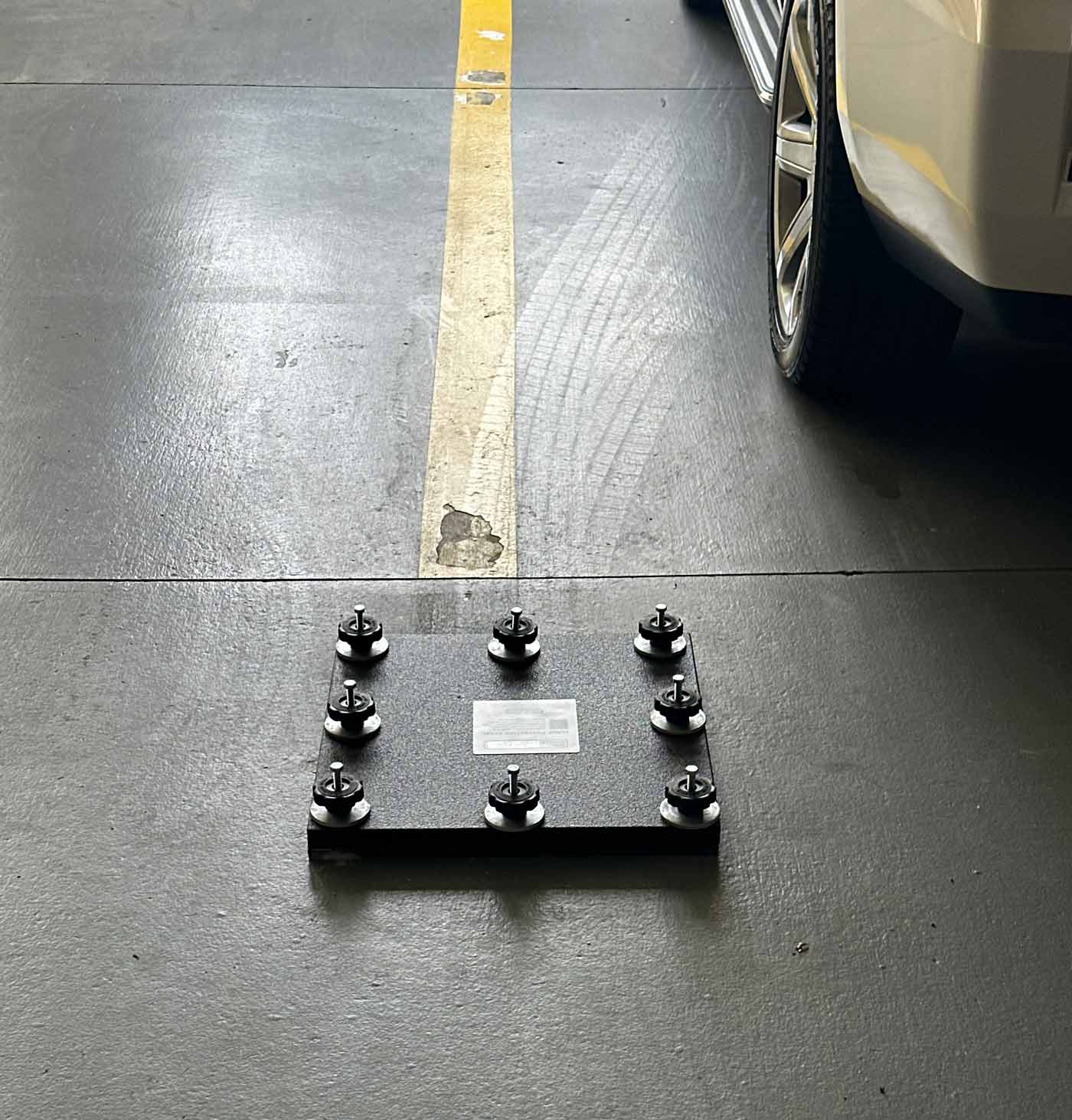
Take immediate action to protect your property and those who depend on it. Regardless of whether you are a homeowner, business owner, or property manager, our inclusive flood services are specifically tailored to cater to your unique requirements. We also provide top-tier flood panels made from marine-grade materials, ensuring exceptional quality and effectiveness in shielding your property from potential flood damage.
